
Mount Merbabu Trail Breakdown via Selo
Mount Merbabu (3,142 masl) via Selo is famous for its rolling open savannas and unobstructed panoramic views of Mount Merapi. The trail begins at 1,836 masl in Selo village, Boyolali, covering approximately 6 kilometers with an elevation gain of +1,306 meters.
Key Trail Waypoints
- Basecamp to Pos 1 (Dok Malang – 2,185 masl): Gentle incline through pine plantations (1 hour).
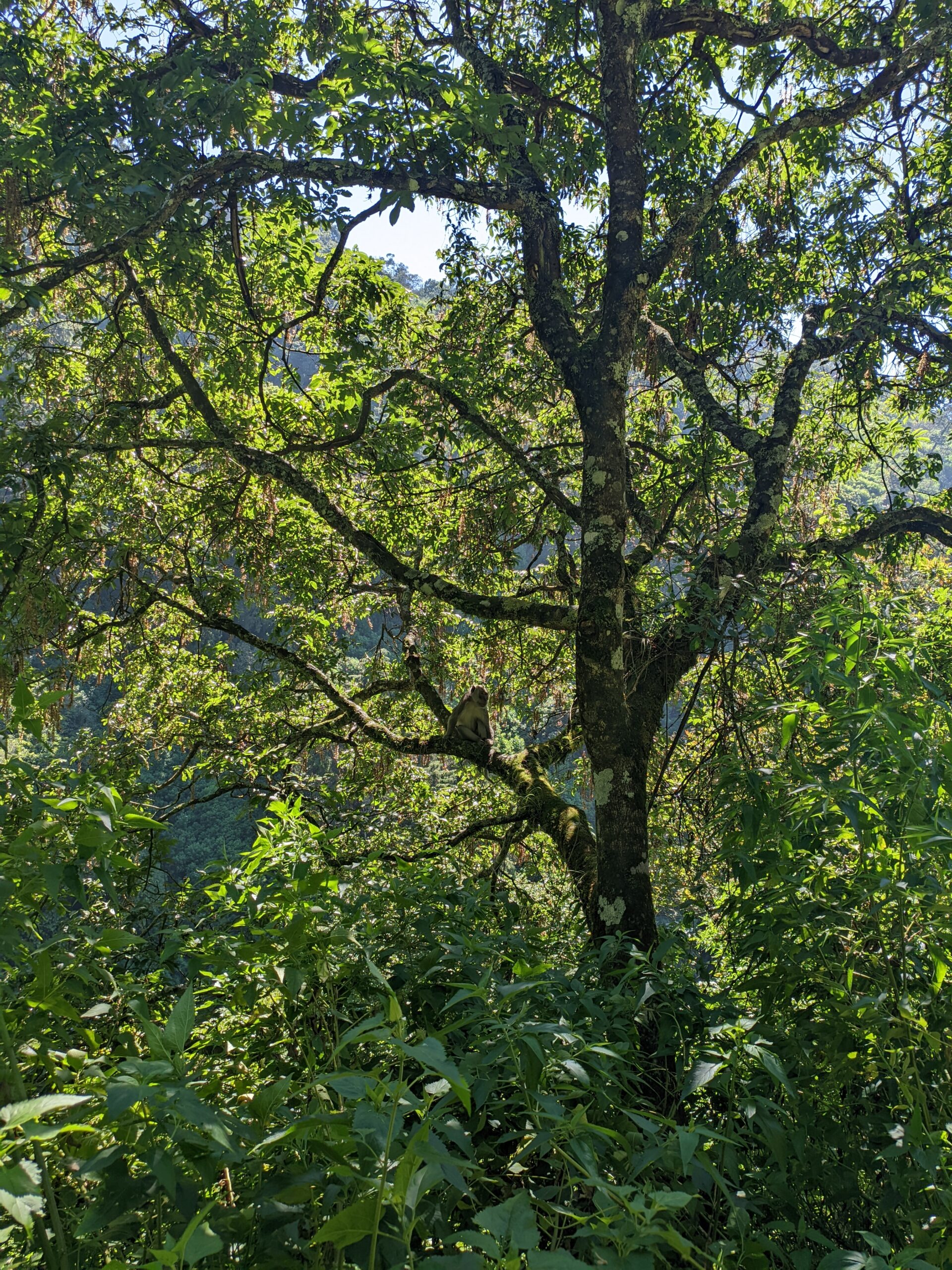
- Pos 1 to Pos 2 (Pancuran – 2,412 masl): Moderate shaded forest path with resting shelter (1 hour).
- Pos 2 to Pos 3 (Watu Tulis – 2,593 masl): Steeper transition into dwarf trees and ridge views (1 hour).
- Pos 3 to Pos 4 (Sabana 1 – 2,770 masl): First sweeping savanna vista and prime camping zone (1 hour).
- Sabana 1 to Sabana 2 (2,980 masl) & Summit: Rolling ridges leading to Triangulasi and Kenteng Songo summits (1.5 hours).